Search
Categories
Vendor solutions
Write a review
Research Boards
Log in
Sign up
Home
Civil Engineering
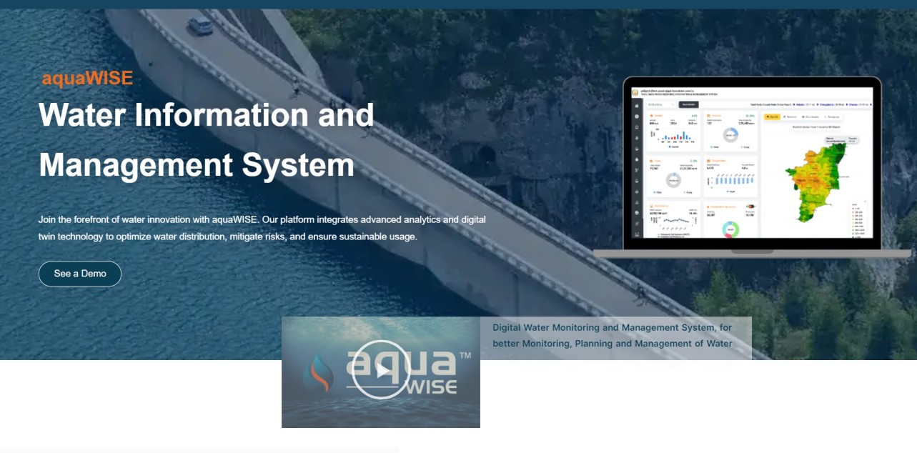
aquaWISE
aquaWISE
Get a Demo
Overview
Reviews
Pricing
Details
Alternatives
aquaWISE
Overview
Get a Demo
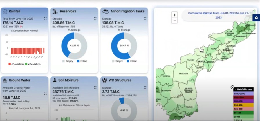
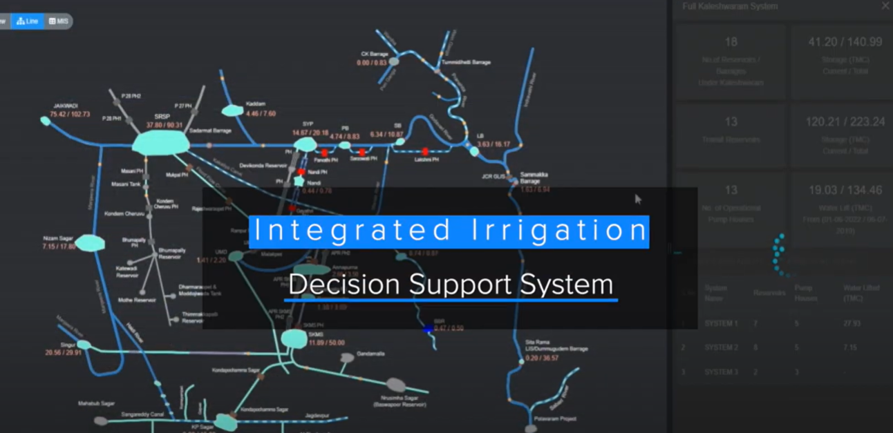
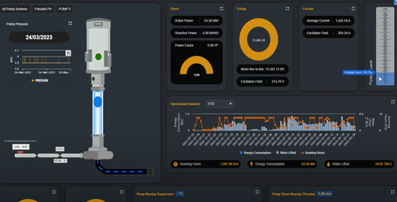
What is aquaWISE?
· Water Resource Information & Management
Read more details
.
Categories & Use Cases
3D Modeling
Enterprise Asset Management
Civil Engineering
Media
1 / 6
aquaWISE Alternatives
Products similar to aquaWISE that may also meet your needs.
ArcGIS
DHI-Plus